uas technology
expert inspections & mapping
unmatched precision
Proudly serving Central Texas and beyond, we combine cutting-edge UAS technology with decades of experience in inspections, land surveying/ civil engineering, and construction. From project oversight to geospatial data capture, we deliver accurate, timely insights that drive smarter decisions and safer outcomes.
70+ years of trusted business relationships
With decades of combined experience in inspection, construction, and land surveying/ civil engineering, Cadence Aerial brings deep industry knowledge and cutting-edge drone technology to every project. Our aerial mapping and inspection services are designed to be precise, efficient, and adaptable to your needs.
From construction and infrastructure to public safety, our solutions help mitigate risk, improve outcomes, and streamline workflows—delivering innovative, cost-effective results backed by a family legacy of excellence.
why drones?
Increased Efficiency
Drones capture data rapidly, enabling fast turnaround on deliverables to keep projects moving.
Enhanced Safety
Limiting crew exposure to hazardous areas improves safety across the job site.
precise data
High-resolution imagery and accurate spatial data support confident, data-driven decisions.
ease of access
Drones reach areas that are difficult or unsafe for people—quickly and without disruption.
elevating our solutions with
advanced technology
HARRIS AERIAL
ORLANDO, FL
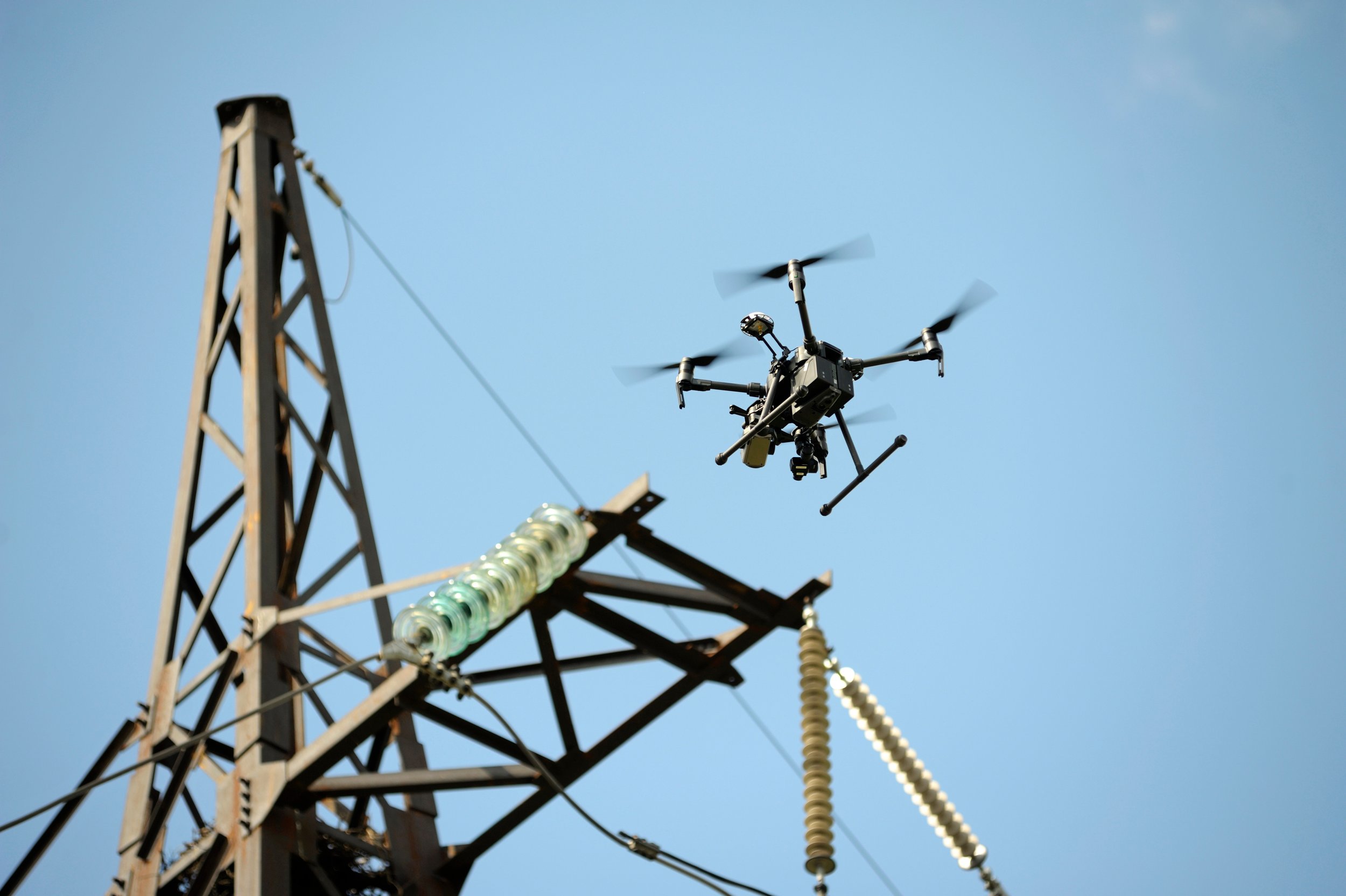
American-made and engineered for demanding aerial missions, the Harris Aerial HX8 delivers heavy-lift performance and built-in motor redundancy for enhanced safety. Its proven stability makes it an essential platform for inspection and mapping in complex environments.
PHOENIX LIDAR SYSTEMS
AUSTIN, TX
The Recon XT is a rugged, high-performance sensor built for precise data capture in demanding environments. With SLAM capabilities and multiple mounting options—including UAVs, vehicles, backpacks, and handheld setups—it delivers reliable, centimeter-level data across a wide range of applications.
FAQs
-
Our drone services are versatile and cater to a wide range of industries, including construction, energy, utilities, public safety, and infrastructure.
We provide aerial inspections, 2D & 3D mapping services, and data collection to support various project needs.
-
Our equipment is capable of capturing data within the centimeter-level range, and when tied to a ground control network, we typically achieve accuracy within a few centimeters.
We work closely with licensed surveyors and engineers across all project types to ensure accuracy, consistency, and alignment with industry standards. -
Depending on your project needs, we provide a range of deliverables—including high-resolution images and video, orthomosaic maps, 3D models, point clouds, digital terrain models (DTMs), contours, and detailed inspection reports.
We also offer exports compatible with CAD and BIM platforms, including feature extraction and structured data tailored to your project requirements. Our team regularly works with clients to meet specific format and workflow needs, ensuring deliverables are accurate, usable, and aligned with your goals.
-
Yes. All operations are conducted under FAA Part 107 by certified remote pilots.
With a background rooted in manned aircraft standards, we bring a heightened level of professionalism, safety, and procedural compliance to every mission—meeting or exceeding industry and regulatory expectations.
-
Turnaround times depend on the type and scope of the project. For inspections, most reports are delivered within 24–48 hours after data capture. Mapping projects typically have a turnaround of about one week.
Many factors can influence delivery time, but we pride ourselves on clear, proactive communication and a commitment to quality with every deliverable.
-
Adverse weather—such as high winds, rain, or low visibility—can impact flight safety and data quality. We monitor conditions closely and adjust flight schedules as needed.
If weather delays occur, we communicate promptly and coordinate rescheduling to keep your project on track.


